Engine will transform your workflow, but don’t take our word for it. Here is what one of our customers has to say:
We are Spatial Data Analytics Inc (SpatialData.AI), a Canadian company committed to providing innovative solutions, utilizing advanced machine learning, computer vision, and geospatial analytics. Our technology is harnessed in projects like automatically classifying LiDAR, converting it into accurate industry-standard vector formats, and deploying customized spatial analytics.
Solv3D has played a pivotal role in quality checking results and visualizing data, ensuring the accuracy and reliability of our projects. In the fast-paced world of the GeoSpatial Industry, efficiency is the key to success. We discovered a game-changing solution that not only streamlined our operations but catapulted our productivity to new heights – Solv3D’s Engine application.
Innovating with Engine
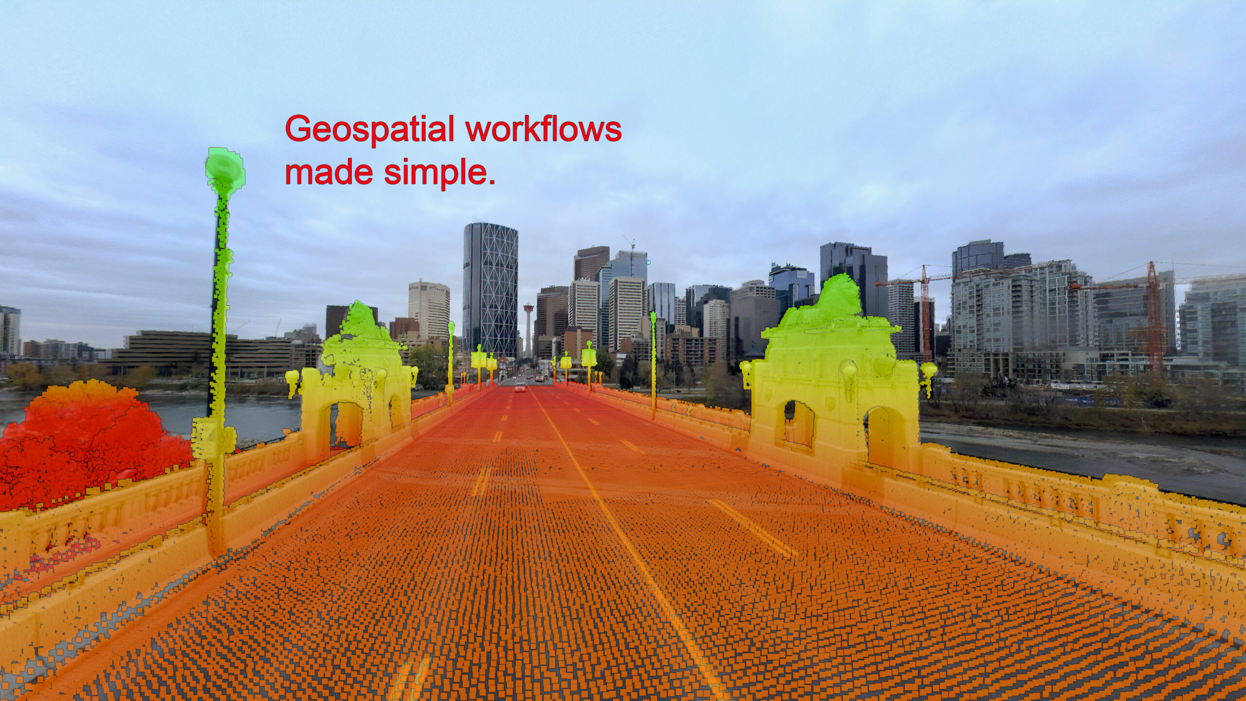
In the ever-evolving landscape of the GeoSpatial Industry, innovation is not just a choice; it’s a necessity. Engine caught our attention with its sterling reputation for simplifying intricate LIDAR data processes and revolutionizing the visualization of LIDAR data for unparalleled quality control workflow efficiency.
Challenges Before Engine
Before integrating Engine into our operations, SpatialData.AI faced substantial challenges with validating data. Quality checking thousands of vectors, visualizing millions of LIDAR point clouds and images proved to be formidable hurdles with desktop software solutions, significantly impacting our ability to deliver products and data sets to clients promptly.
Engine’s Impact
Our implementation of Engine yielded immediate and transformative results. Its intuitive interface and robust features seamlessly addressed our specific needs, making it an indispensable component of our operations.
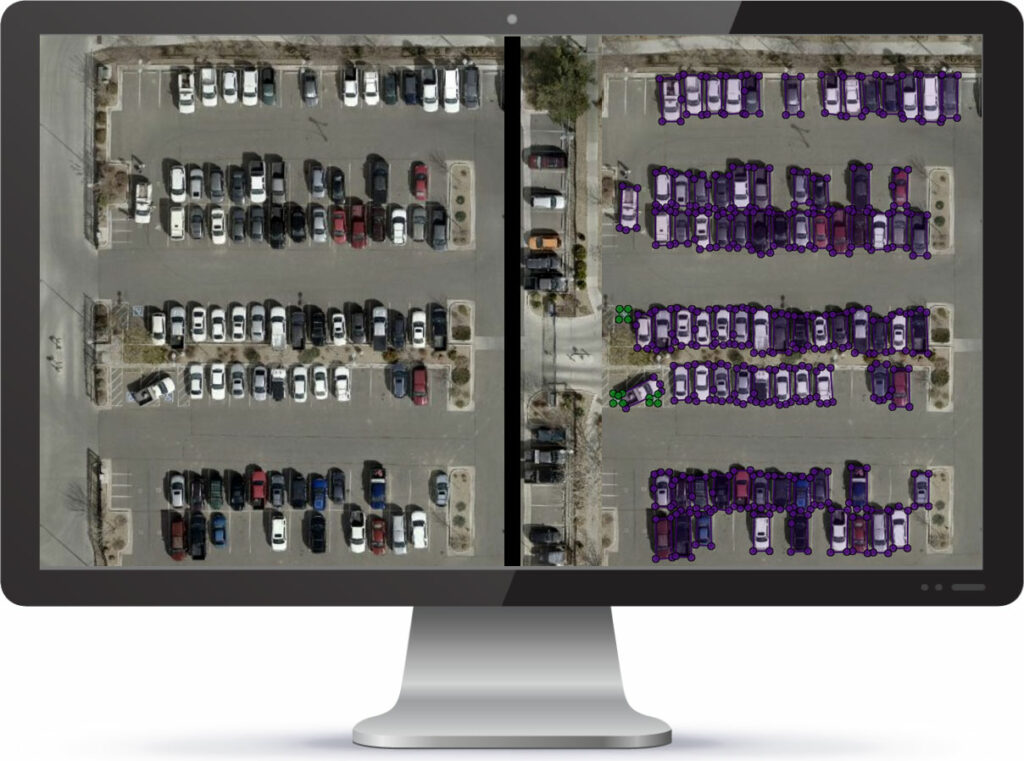
Quality Checks with Engine
We rely on Engine to conduct meticulous quality checks on the output generated by machine learning, computer vision, and analytics algorithms. This crucial step ensures that the products and data sets delivered to our clients meet the highest standards of accuracy and precision.
Quantifying Success
As of December 7th, Engine has handled an impressive 38 TB of data for SpatialData.AI. This monumental volume underscores the robust capabilities of Engine in managing and processing large-scale geospatial datasets.
Our partnership with Solv3D has been transformative, revolutionizing how we approach our geospatial projects ensuring design/engineering ready datasets. If you’re seeking a solution to streamline your operations and elevate your productivity in the GeoSpatial Industry, we highly recommend exploring what Solv3D has to offer.
Verda Kocabas, PhD
GIS Production Manager,
Spatial Data Analytics Inc
We are not a “one trick pony”! Here is another client testimonial:
We are Site Tour 360. We specialize in virtual tours, 360 photography, and 3D mapping. We can expertly capture any location and build it into a digital space. Our projects include virtual tours for homes, businesses, and event spaces. We also create large scale mapping projects for cities, state parks, shopping centers, and other sizeable properties.
We’ve been very impressed with the Solv3D platform and the support from Kevin Miller and his team! If you’re looking for a great platform to consolidate lots of different data types, give them a try! Their online training sessions are really informative too!
Mike Vorce
President
Site Tour 360